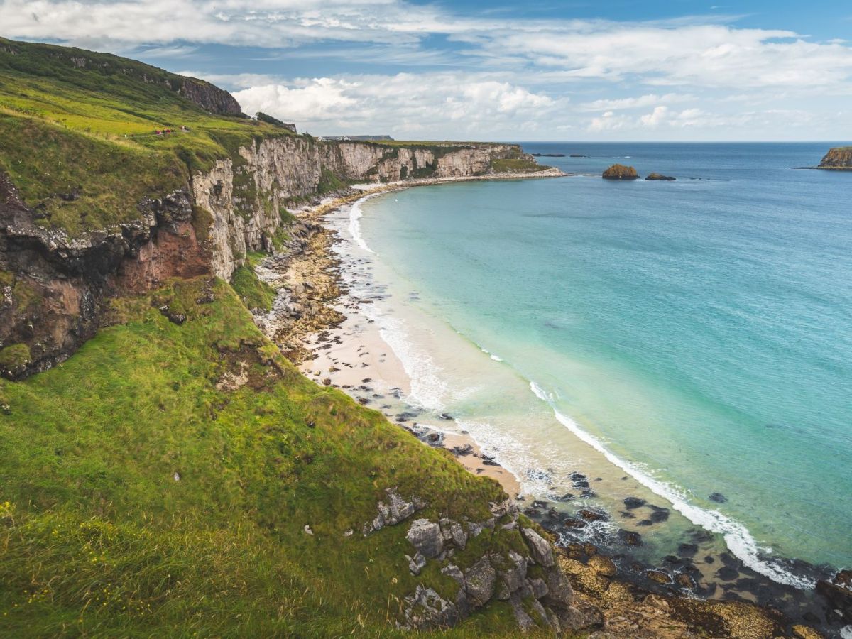
Now, researchers at Ulster University have developed a new app that maps these historical changes and predicts future movement, marking what they say is a first for the UK.
Led by Professor Derek Jackson, the team used over 200 years of maps and data to track the evolution of 140 coastal sites across Northern Ireland. Funded by the Department of Agriculture, Environmental and Rural Affairs (DAERA), the project reveals both erosion and land gain along the coast.
“Some areas have actually grown forwards, like parts of County Down,” said Professor Jackson, while others, including Magilligan in County Londonderry, “have eroded dramatically.” The app allows users to click on different coastal points and view a clear, layperson-friendly summary of historical and projected changes.
The tool not only shows how beaches such as Whiterock in County Antrim have changed but also incorporates future projections factoring in climate change. Northern Ireland’s post-Ice Age geological rebound – caused by the land slowly rising after being compressed by ancient glaciers – has helped protect the coast from rising sea levels. But according to Prof Jackson, “that honeymoon period is coming to an end.”
The app is intended to serve both the public and local authorities. For planners, it provides essential context when evaluating development along vulnerable coastlines.
Professor Jackson emphasised the importance of understanding and respecting natural processes. “We probably should not be building on dynamic coasts because they’re so mobile. Sometimes little, tiny changes that we do can have a massive impact on the natural behaviour of coasts.”
The app aims to inform better decisions about the land use and environmental protection, offering a powerful reminder of how dynamic – and vulnerable – our coastlines truly are.


